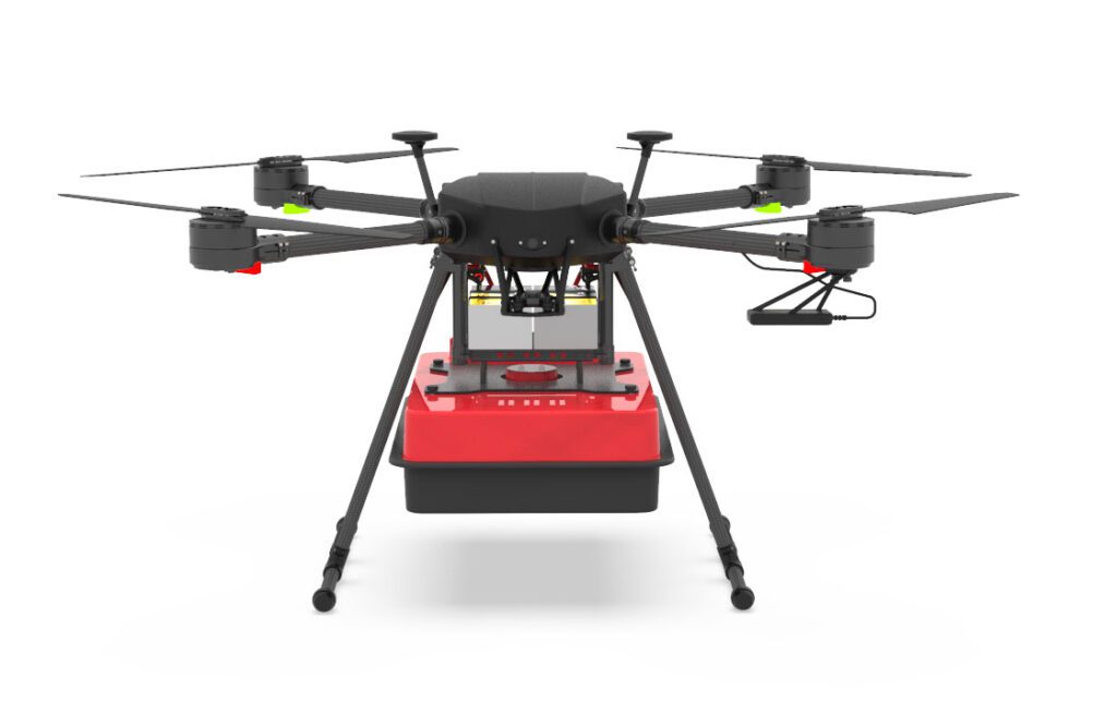
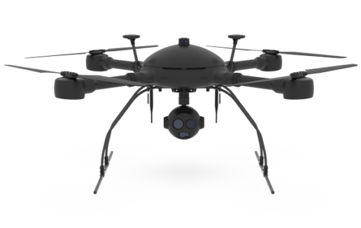
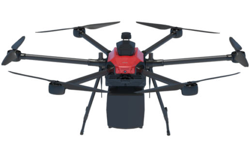
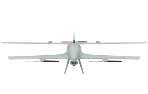
We have configured Complete “Turnkey” Solutions for our professional clients.
which include everything you need to be immediately operational in the field and start drawing all the
Advantages of using Professional Drones
Solutions Aerial drone surveying “photogrammetry” is not only about drone.
These are integrated systems, complete with calibrated sensors and precision GPS,
Specific flight planning software and APPs,
Precise workflows, post processiong software,
professional training and support.
DroneBase provides you with an Expert Advisor
Able to recommend the most appropriate product for your needs
And answer all your questions.
Please enter your details below, our consultant will
will contact back as soon as possible and provide you with all the details!

© 2023 all rights reserved
WhatsApp us
Thank you for your interest in our solutions
Fill out the Form opposite and you will be contacted
by one of our Expert Advisors who will provide you with
The Best Solution for Your Need!
Thank you for your confidence.
Team DroneBase
Thank you for your interest in our applications.
Fill out the Form next to it to receive:
Request a consultation with one of our Experts to Point you to the Best Solution for Your
Necessity!
Thank you for your confidence.
Team DroneBase
Thank you for your interest in our applications.
Fill out the Form next to it to receive:
Request a consultation with one of our Experts to Point you to the Best Solution for Your
Necessity!
Thank you for your confidence.
Team DroneBase
Thank you for your interest in our applications
Fill out the Form opposite and you will be contacted by one of our Expert Consultants who will provide you with the Best Solution for YOUR NEEDS!
Thank you for your confidence.
Team DroneBase
Thank you for your interest in our Video Surveillance solutions
Fill out the Form opposite and you will be contacted
by one of our Expert Advisors who will provide you with
The Best Solution for Your Need!
Thank you for your confidence.
Team DroneBase
Thank you for your interest in our applications.
Fill out the Form next to it to receive:
Request a consultation with one of our Experts to Point you to the Best Solution for Your Need!
Thank you for your confidence.
Team DroneBase
Thank you for your interest in our applications.
Fill out the Form next to it to receive:
Request a consultation with one of our Experts to Point you to the Best Solution for Your
Necessity!
Thank you for your confidence.
Team DroneBase