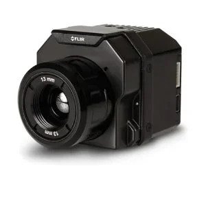
Thermography
 |
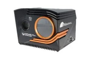 |
Table Header 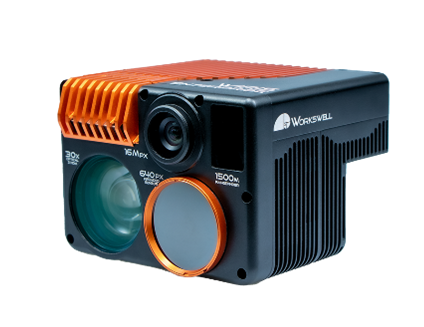 |
 |
|
|---|---|---|---|---|
|
Model |
Flir Vue Pro R 336-640 |
Workswell Wiris Pro |
Workswell Wiris Enterprise |
Micasense Altum-PT |
|
Daylight Sensor |
N/A |
2.13MP-FullHD 1080p |
16MP-4K:3840*2160 |
5.1 MP |
|
Optical Zoom |
N/A |
10x, F3.8,f~88.4mm |
10x, F3.8,f~88.4mm |
|
|
Thermal Sensor |
640*480p - 9hz |
640*480p(1266*1010) - 30hz |
1266*1010p - 30hz |
320*256 - 30hz |
|
Digital Zoom |
4x |
14x |
12x |
|
|
Thermal band |
|
7.5-13.5um |
7.5-13.5um |
7.5-13.5um |
|
Other Sensor |
|
|
30X FullHD Zoom |
3.2MP: Blue 475(32), |
|
Multiview |
|
✓ |
✓ |
|
|
GPS Geotag |
Mavlink |
Mavlink-Direct |
Mavlink-Direct |
Mavlink-Direct |
|
Quick-Mount |
✓ |
✓ |
✓ |
✓ |
|
Video Out |
A/V |
HDMI-Ethernet |
A/V - HDMI |
WiFi |
|
Control |
PWM,Mavlink |
PWM,Mavlink,Ethernet,Can |
PWM,Mavlink |
PWM,Sbus,UART,TCP |
|
Weight |
113g |
430g |
680g |
460g |
|
Dimension |
57*44*45 mm |
83*85*68 mm |
77*107*102 mm |
89*70*110 mm |
|
|