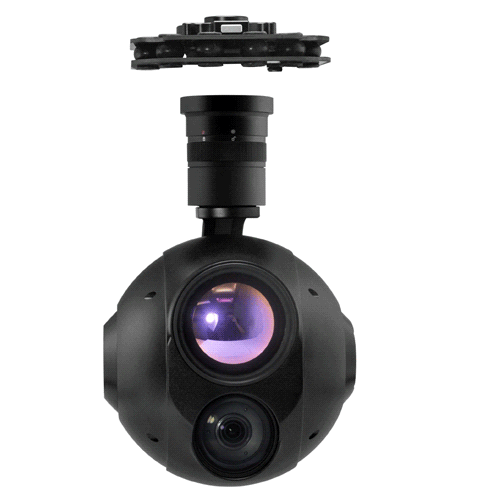
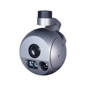
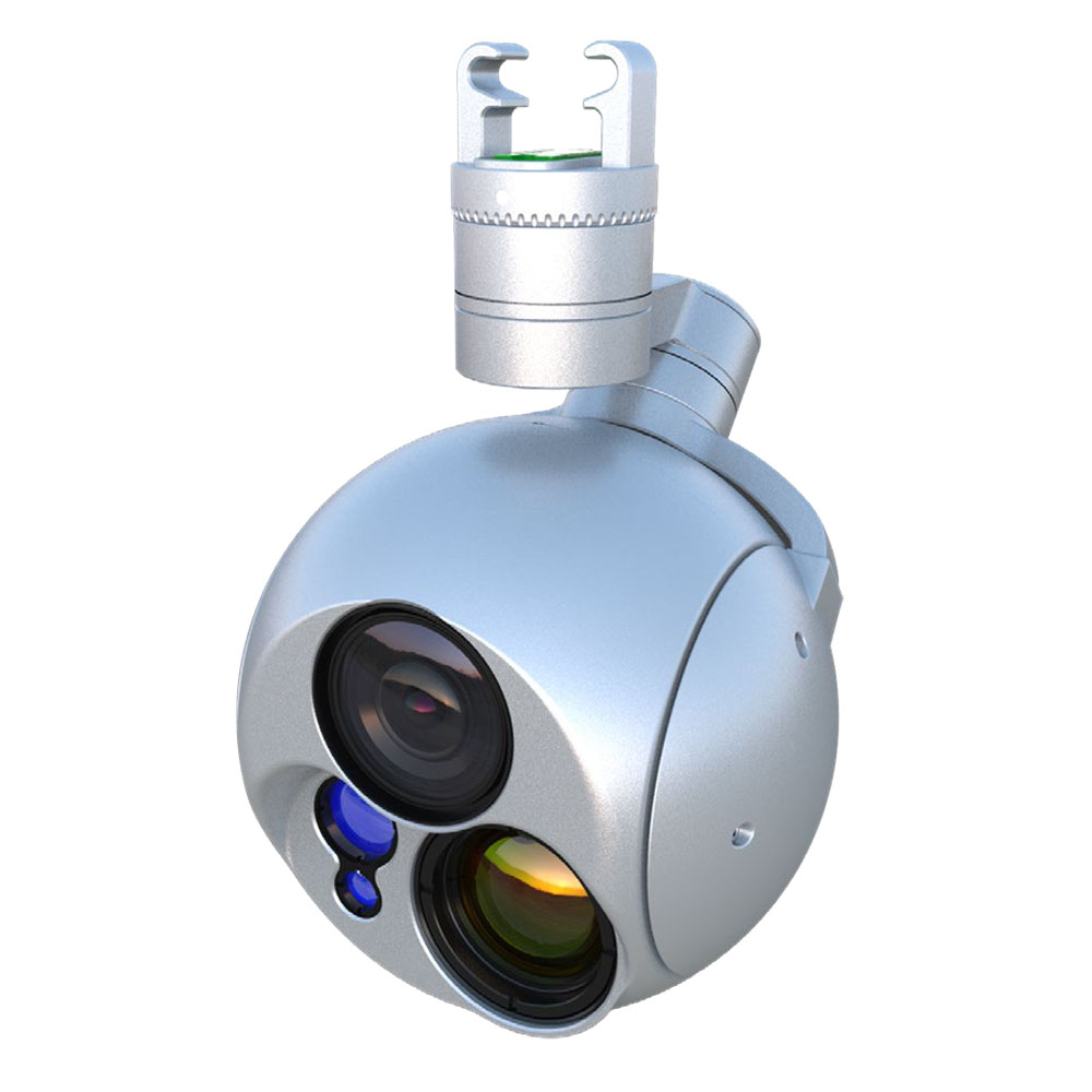
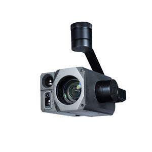
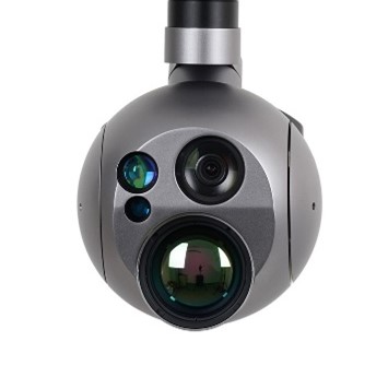
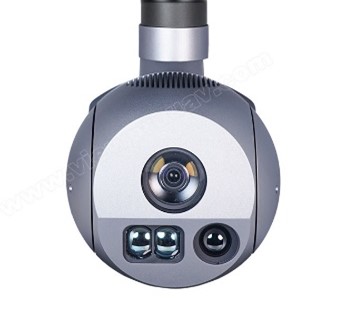
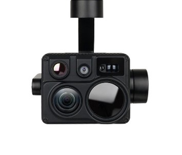
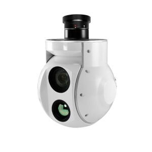
Video Surveillance Gimbal
 |
|
 |
 |
 |
 |
 |
||
|---|---|---|---|---|---|---|---|---|
|
Model |
Gemini |
Gemini |
Gemini |
Gemini |
Gemini |
Gemini |
Gemini |
|
|
EO Sensor |
2.07MP - 4k 2160p |
2.13MP - FullHD 1080p |
2.13MP - FullHD 1080p |
2.13MP - FullHD 1080p |
8.51MP - 4K |
8.51MP - 4K |
2.13MP - FullHD 1080p |
|
|
EO Optical Zoom |
33x, F=5.5~180.0mm |
40x, f=4.25mm~170mm |
30x, f=6.5~162.5mm |
30x, F=4.3~129mm |
20x, F3.8,f~88.4mm |
30x, F=4.3~129mm |
30x, F=4.3~129mm |
|
|
EO Digital Zoom |
16x |
32x |
12x |
12x |
12x |
12x |
12x |
|
|
Night Vision |
Infrared |
Infrared |
Infrared + starvis |
Infrared |
Infrared |
Infrared |
Infrared |
|
|
IR Sensor/ Pixel size |
1280*1024 - 12μm |
640*512p - 12μm |
640*512p - 12μm |
640*512p - 12μm |
640*512p - 12μm |
640*480p - 17μm |
640*480p - 17μm |
|
|
IR Lens |
55mm |
19mm |
19mm |
50mm |
19mm |
50mm |
25mm |
|
|
IR Fov |
H:15.8°, V:12.7° |
H:22.9°, V:18.4° |
H:22.9°, V:18.4° |
H:12.4°, V:9.3° |
H:22.9°, V:18.4° |
H:12.4°, V:9.3° |
H:24.6°, V:18.5° |
|
|
IR digital zoom |
8x |
8x |
8x |
8x |
8x |
8x |
3x |
|
|
AI Target Detection |
✓ |
✓ |
✓ |
✓ |
✓ |
✓ |
|
|
|
Object Tracking |
✓ |
✓ |
✓ |
✓ |
✓ |
✓ |
✓ |
|
|
Laser range finder |
2000m |
3000m |
1000m |
5000mt |
1500 mt |
1000mt |
|
|
|
Target Geolocalization |
✓ |
✓ |
✓ |
✓ |
✓ |
✓ |
✓ |
|
|
KLV Meta Data (MPEG-TS) |
✓ |
✓ |
✓ |
✓ |
✓ |
✓ |
✓ |
|
|
Multiview |
✓ |
✓ |
✓ |
✓ |
✓ |
✓ |
||
|
Quick-Mount |
✓ |
✓ |
✓ |
✓ |
✓ |
✓ |
✓ |
|
|
IP Rating |
Ip43 |
Ip43 |
Ip43 |
Ip43 |
Ip43 |
Ip43 |
Ip43 |
|
|
Weight |
1189g |
1198g |
1134g |
1485g |
1198g |
1339g |
1151g |
|
|
Dimension |
161.4*130*208mm |
130*134.7*219mm |
173.5*128.7*204.6mm |
145.8*138*227.8mm |
130*134*219mm |
300*250*200mm |
127*122*177.1mm |
|
|
|