

Photogrammetry
 |
 |
 |
|
|---|---|---|---|
|
Model |
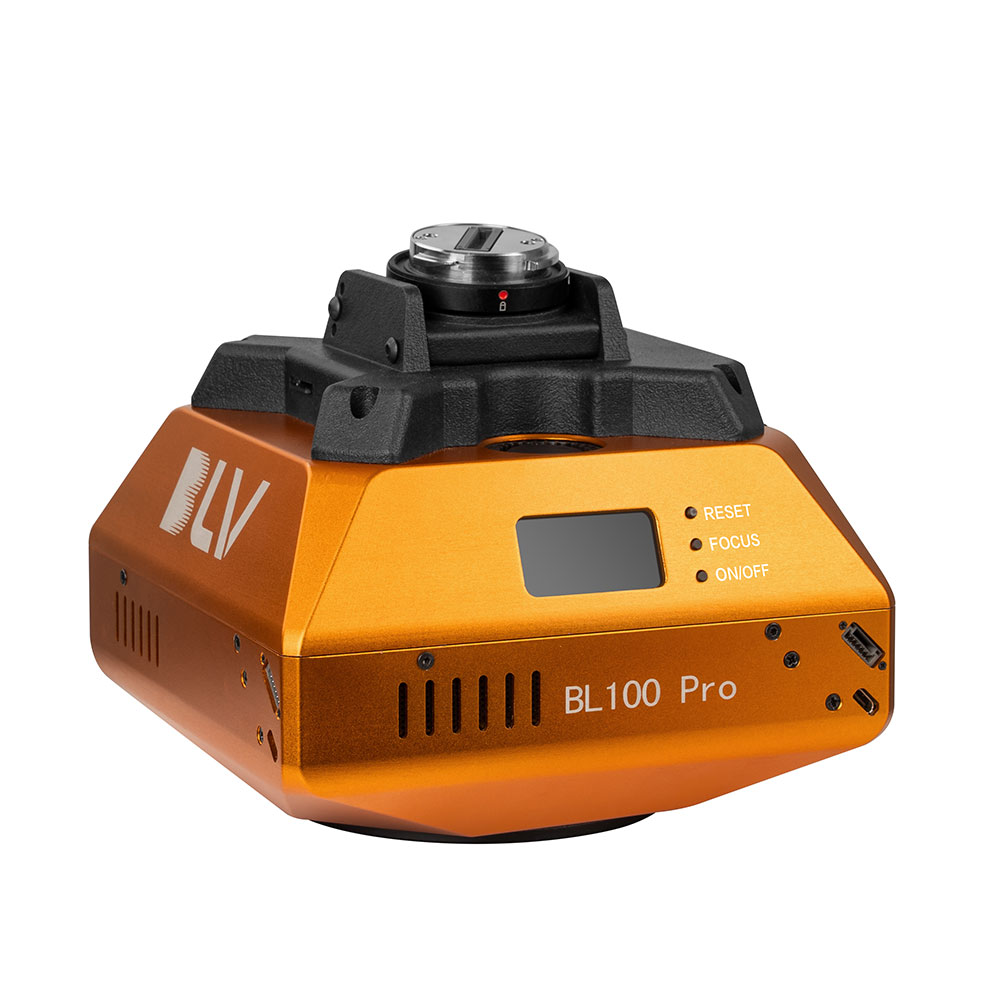
61MP Camera |
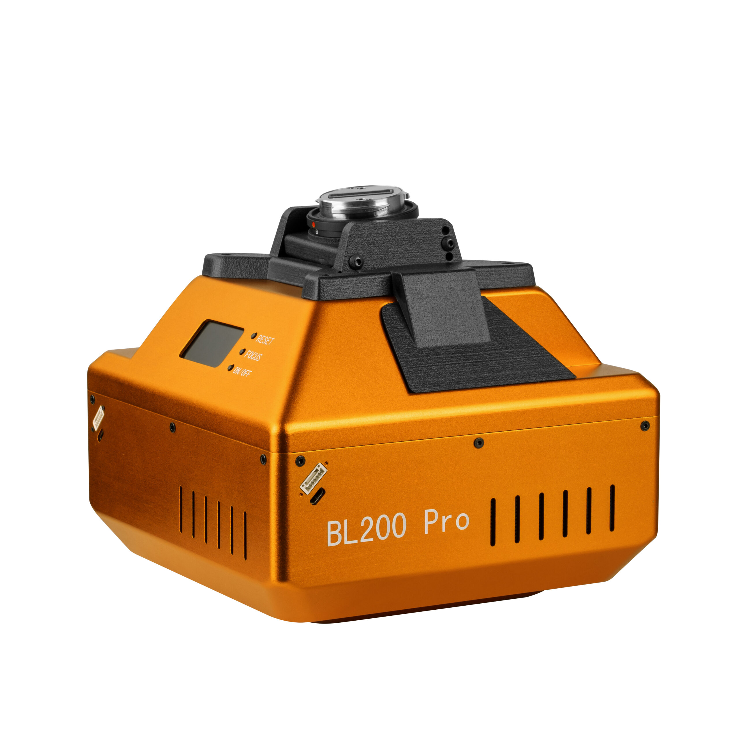
120MP Oblique Camera |
210MP Oblique Camera |
|
Power Supply |
DC 12 ~ 48 |
DC 12 ~ 48 |
DC 12 ~ 48 |
|
Endurance |
Power Supply By Drone |
Power Supply By Drone |
Power Supply By Drone |
|
Power On/Off |
Auto On/Off |
Auto On/Off |
Auto On/Off |
|
Data Transfer |
Type - C Cable |
Type - C Cable |
Type - C Cable |
|
Storage |
256 GB |
1280 GB |
1280 GB |
|
Effective Pixels |
61MP |
Single Lens :24MP (Total 120MP) |
Single Lens :42MP (Total 210MP) |
|
Sensor Size |
Full frame (35.7×23.8mm) |
APS-C (23.5*15.6mm) |
Full frame (35.8*23.9mm) |
|
Lens qty |
Single lens |
5 Pcs |
5 Pcs |
|
Image Resolution |
9600x6400 |
6000x4000 |
7952x5304 |
|
Focal Lenght |
40 mm |
Nadir: 25 mm, Oblique: 35 mm |
Nadir: 40 mm, Oblique: 56 mm |
|
Tilt Degree |
N/A |
45° |
45° |
|
Exposure Time |
≥0.6 s |
≥0.6 s |
≥1.2 s |
|
Exposure Mode |
Flight Control Trigger |
Flight Control Trigger |
Flight Control Trigger |
|
Operating Mode |
Trigger by Flight Controller, Isometric photography, and Isochronous photography |
Trigger by Flight Controller, Isometric photography, and Isochronous photography |
Trigger by Flight Controller, Isometric photography, and Isochronous photography |
|
Video |
Supported |
N/A |
N/A |
|
Real-time Kinematic |
Supported |
N/A |
N/A |
|
Working Temperature |
-10 ℃ ~ 40 ℃ |
-10 ℃ ~ 40 ℃ |
-10 ℃ ~ 40 ℃ |
|
Humidity |
≤95% |
≤95% |
≤95% |
|
Size |
130mm*80mm*50mm |
122mm*122mm*105mm |
150mm*150mm*116mm |
|
Weight |
≈360g(680g includes gimbal) |
≈650 g |
≈1270 g |
|
|

