

Bathymetry with Drones
Exploring the Potentials of Bathymetry with Drones
Bathymetry, or the water depth measurement, is a crucial activity for a wide range of industries, including the maritime navigation, coastal engineering, water resource management and scientific research. Traditionally, the bathymetry was carried out using boats equipped with sonar and other specialized instruments. However, with the advancement of drone technology, a new front is opening up in water exploration through the aerial bathymetry.
How Bathymetry with Drones Works
The drones are equipped with high-precision sensors, such as sonar and LiDAR (Light Detection and Ranging), which enable them to detect water depth with amazing accuracy. As the drone flies above the water surface, sensors emit sonic or laser pulses that are reflected off the water surface and underwater obstacles. By measuring the time it takes for these pulses to return, the drone can calculate water depth and generate detailed maps of the seafloor or inland bodies of water.
Applications of Bathymetry with Drones
The use of drones for bathymetry offers a number of advantages over traditional methods. First, drones can quickly cover large, hard-to-access areas, enabling faster and more efficient mapping of the seafloor. In addition, because drones operate from above, they can collect detailed data on coastal areas and seabed without disturbing the surrounding environment.
The applications of drone beatmetry are diverse and include:
-
Maritime Navigation
Detailed maps of the seafloor created through drone bathymetry are critical to the safe navigation of vessels.
-
Coastal Engineering
Drone bathymetry provides crucial data for the design and construction of coastal infrastructure, such as jetties, wharves and dams.
-
Water Resources Management
Accurate mapping of inland water bodies enables better management of water resources and water quality.
-
Scientific Research
Data collected through drone bathymetry are valuable for scientific research in fields such as marine ecology, marine geology, and underwater archaeology.
The Future of Bathymetry with Drones
As drone and sensor technology continues to develop, drone bathymetry can be expected to become increasingly widespread and reliable. Innovations in photogrammetry and digital mapping are also helping to improve the quality and accuracy of data collected by drones. Ultimately, drone bathymetry promises to transform the way we explore and understand the underwater world, opening up new opportunities for scientific research, resource management, and maritime security.
Discover all the benefits
WHO WE ARE.
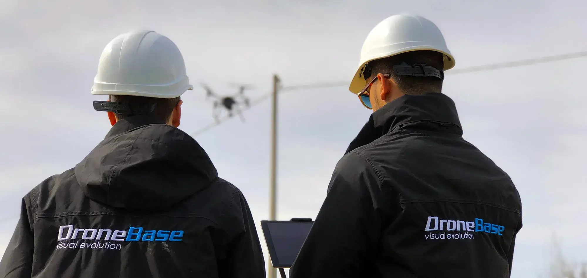
DroneBase SRL is now one of the most relevant companies in the national and international drone scene, thanks to our ability to conceive, design, manufacture and certify drones of high industrial level. Our facilities cover an area of nearly 700 square meters, including advanced research and development laboratories, test benches, production lines, flight simulators, areas dedicated to engineering and design, a showroom, a training room (equipped with a 10,000-square-meter airfield), warehouses and offices. Our team consists of highly qualified personnel, including mechanical, electronic and aeronautical engineers, as well as designers and beta testers.
Currently, Dronebase produces five different models of
professional drones (APRs)
, along with the innovative
DBase (Drone in a Box)
, a fully autonomous solution for remote drone management. We also offer several models of
gimbals and payloads
customized.
Thanks to a handcrafted production process that meets strict quality standards certified by
ISO 9001-2015
, DroneBase SRL develops a line of multi-role solutions that are distinguished by their high performance, safety and the ability to be customized to our customers’ specific application needs.
Talk to one of our Experts
DroneBase provides you with an Expert Advisor
Able to recommend the most appropriate product for your needs
And answer all your questions.
Call us NOW!
+39.0541.1790411
Request information
Please enter your details below, our consultant will
will contact back as soon as possible and provide you with all the details!
